All digital projects
Taiwan Traffic Enforcement Map
Launch Traffic Enforcement Map ↗
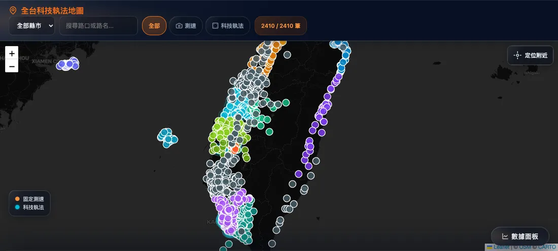
A completely backend-free, client-side web map for querying traffic enforcement locations across Taiwan. Consolidates 2,410 speed camera and automated traffic enforcement coordinates across 22 administrative divisions from official open-data repositories.
Feature Highlights
- 2,410 Enforcement Points — Fixed speed cameras and automated multi-infraction enforcement covering all 22 administrative divisions across Taiwan
- GPS Proximity Risk Summary — Real-time geolocation pinpoints local camera density and computes proximity to the closest enforcement device
- Regional Color Coding — Distinct color palettes visually distinguish each city and county
- Real-time Analytics Dashboard — Instant metrics visualizing overall site volume, administrative distribution, and hardware category breakdowns
- Offline PWA Support — Installable to mobile home screens with offline search and caching capabilities
- Chart Visualizations — Integrated Chart.js dashboards rendering county-level enforcement distributions
Data Sources
Aggregated from open-data portals across municipal police departments and Taiwan’s central data.gov.tw platform, with geographic coordinates sanitized and geocoded via OpenStreetMap Nominatim.
Have a similar project in mind?
Tell me the purpose and direction, and we will find the right approach together.